Kansas City, MO – The Midwest heat and humidity are back with force as Kansas City braces for triple-digit heat indices, scattered storm chances, and a possible shift toward flooding conditions this weekend.
According to the National Weather Service, the region will endure muggy conditions, unstable air, and a stretch of unsettled weather that could escalate through early next week.
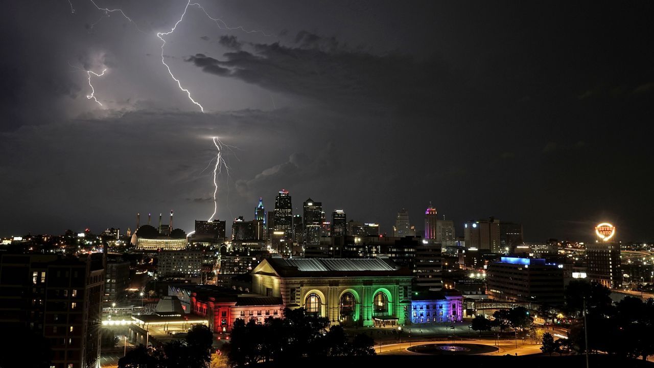
Storm Risk Begins Midweek
A cluster of thunderstorms traveling southeast through Iowa was forecast to impact areas north of the Kansas City metro by Wednesday. Although weakening as they approached the area, the storms could still produce isolated strong wind gusts.
As reported by Kansas City, the surrounding areas — including parts of Harrisonville and Moberly — were placed under a marginal risk for severe weather by the Storm Prediction Center.
“Although an isolated severe storm producing damaging wind gusts cannot be ruled out, chances for severe weather are rather low today,” noted the National Weather Service.
Post-storm cool-air outflows may also trigger new storms later Wednesday, especially if atmospheric instability returns.
Heat Index to Soar into Triple Digits
By Thursday and Friday, Kansas City will experience increasing temperatures and humidity, pushing heat index values as high as 101°F. While Wednesday’s high is expected to hit 91°F, the trend will continue upward into the weekend:
- Thursday: Low 90s
- Friday: Mid-90s with heat index >100°F
- Weekend: Around 90°F, with oppressive humidity
This heat comes as Kansas City sees temperatures just above seasonal norms, which typically hover near 89°F for early August.
Weekend Pattern Shift Brings Rain and Flood Risk
Saturday marks the beginning of a more unsettled pattern, with daily storm chances increasing through at least Tuesday. Rain probabilities will rise to 60% or more, especially Sunday through Tuesday.
“The setup could bring heavy rainfall with repeated rounds of storms, leading to a growing risk for localized flooding,” meteorologists warn.
The accumulation of storms, particularly in areas that are repeatedly hit, could saturate the ground and elevate the flood threat — particularly in low-lying or urban zones with poor drainage.
What to Do in Such Weather
Here are key precautions for staying safe during this mix of extreme heat and storm threats:
For Heat:
- Stay hydrated: Drink water regularly, avoid caffeine and alcohol.
- Avoid peak hours: Limit outdoor activities between 11 a.m. and 4 p.m..
- Check on elderly neighbors, young children, and pets.
- Never leave people or animals in parked cars.
For Storms and Flooding:
- Clear gutters and drains to reduce runoff risk.
- Avoid driving through flooded streets — even shallow water can disable vehicles.
- Have a weather alert app or NOAA radio for warnings.
- Secure outdoor items that may blow away in gusty winds.
Outlook: Humid, Unstable, and Hot
While the storms may help regulate daytime highs, the air will remain thick with moisture, creating a muggy, summerlike atmosphere. Even areas that don’t receive rain may see the highest temperatures, due to lack of cloud cover.
Have you noticed the rising heat and thunderous skies in your part of Kansas City? Share how you’re preparing in the comments below.


