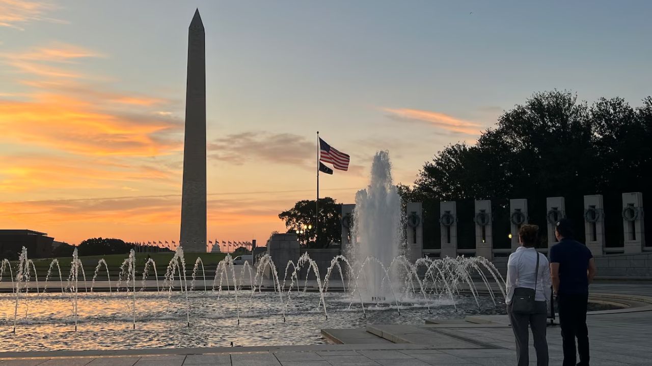
Washington, D.C. — Residents of the nation’s capital are enjoying a rare stretch of summer days with highs below 90°F, and that pattern is set to continue through the weekend as cloud cover and light shower chances keep temperatures in check.
Midweek Forecast: Clouds and Mild Highs
Tonight will remain mostly cloudy, with lows ranging from the comfortable 60s in the suburbs to near 70°F in the city, accompanied by light easterly winds.
On Wednesday, expect mostly cloudy skies and highs in the upper 70s to low 80s. A slight chance of an afternoon shower exists, particularly south and east of the Capital Beltway. Wednesday night will be cloudy again, with lows in the mid- to upper 60s and isolated light showers possible.
Extended Outlook Through the Weekend
- Thursday: Partly to mostly cloudy with highs in the low to mid-80s, humidity creeping higher, and scattered light showers possible.
- Friday: Potential for more sunshine, highs in the low to mid-80s.
- Saturday: Partly sunny, mid-80s, with moderate humidity.
- Sunday: Increasing clouds and shower chances, highs mid-80s.
This stretch could bring nine straight days below 90°F, the longest since early June as reported by the Washington Post.
Wildfire Smoke Could Impact Air Quality
The Environmental Protection Agency projects Air Quality Index (AQI) readings to rise into the 90s by Thursday, just below the Code Orange threshold (AQI 101). While most smoke from Canadian wildfires has stayed north, fine particulates are slowly increasing in the region.
Residents — especially sensitive groups like those with asthma or heart conditions — may experience scratchy throats, burning eyes, or respiratory discomfort from prolonged exposure.
Hot Pattern Returns Next Week
This cooler spell is expected to end early next week, with highs returning to 90°F or above and humidity levels surging. Some long-range models suggest highs could reach well into the 90s or even near 100°F between August 12 and 15, although forecasts that far out can overestimate intensity.
What to Do in Such Weather
During this mild stretch:
- Enjoy outdoor activities before the heat returns.
- Use the time to check your AC units before next week’s heat wave.
- If sensitive to smoke, limit prolonged outdoor exertion and keep windows closed.
- Stay hydrated, even in cooler weather — humidity can still cause dehydration.
Are you enjoying this break from D.C.’s summer heat, or do you prefer the hotter weather? Share your thoughts in the comments below.

