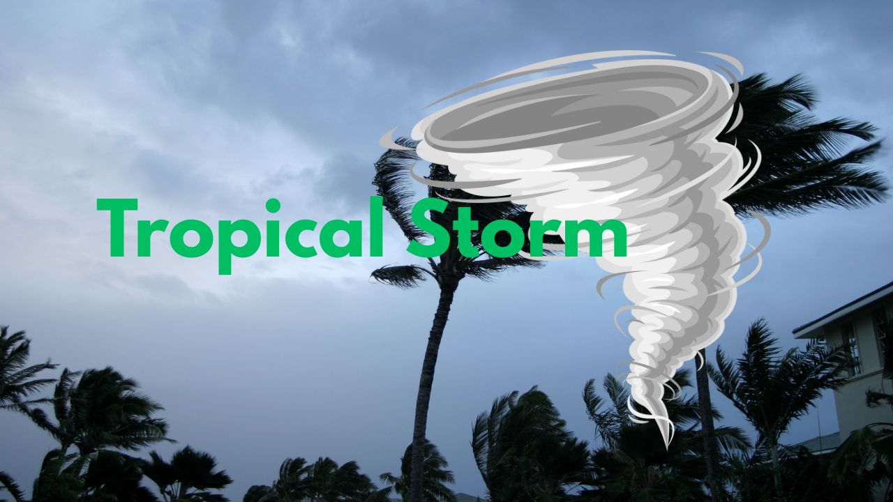
Miami, FL — Tropical Storm Dexter, the fourth named storm of the Atlantic hurricane season, is moving away from the U.S. East Coast, but forecasters warn that rip currents and high surf could still affect coastal areas over the next few days. Meanwhile, the National Hurricane Center (NHC) is tracking two more systems that could develop into tropical depressions this week.
Dexter Moves Out but Leaves Coastal Risks Behind
Dexter formed late Sunday night after a low-pressure area developed along a stalled frontal boundary between North Carolina’s Outer Banks and Bermuda. It became organized enough to be classified as a tropical storm, a process that’s fairly typical when systems detach from frontal boundaries and begin spinning over warm waters.
“Dexter is moving away from the U.S., and expected to become ripped apart by stronger wind shear,” meteorologists said in the latest advisory.
Though not a direct threat to land, Dexter may continue to stir up dangerous surf and rip currents along parts of the East Coast through midweek.
Two Other Areas Could Develop in the Atlantic Basin
While Dexter weakens, attention is shifting to two new systems with potential for development:
1. Southeast U.S. Coast – Low Pressure Forming
A new low-pressure area is expected to form along the same old frontal boundary off the Southeast coast later this week. The NHC gives it a low chance of development, but conditions may become more favorable as it drifts northwest toward the coastal Carolinas.
This system could bring increased rain and thunderstorms to the Southeast U.S., especially as the week comes to an end.
Already soggy areas could see locally heavy rainfall as the disturbance nears the coast.
2. Atlantic Tropical Wave – Watching for Long-Term Development
Farther out in the Atlantic, a tropical wave that recently emerged from Africa is being monitored for potential development. The system may organize into a tropical depression or storm later this week once it reaches the central Atlantic.
While it currently poses no immediate threat to land, its long-term path remains uncertain and will be monitored closely.
If either system develops into a named storm, the next names on the 2025 Atlantic hurricane list are Erin and Fernand.
Atlantic Hurricane Season Nearing Its Peak
Historically, the next 4–6 weeks are the most active period of the Atlantic hurricane season. According to meteorologists, conditions are becoming more conducive to development due to:
- Warmest sea surface temperatures of the year
- Decreased Saharan dust and dry air
- Lower wind shear
- High atmospheric instability
“Tropical development can occur anywhere from the Gulf and Southeast coasts to the Central Atlantic and even off the coast of Canada,” experts say.
With favorable conditions building, residents along the Atlantic and Gulf coasts are urged to stay prepared, monitor forecasts, and review emergency plans.
What are your thoughts on this? Let us know in the comments Section.


