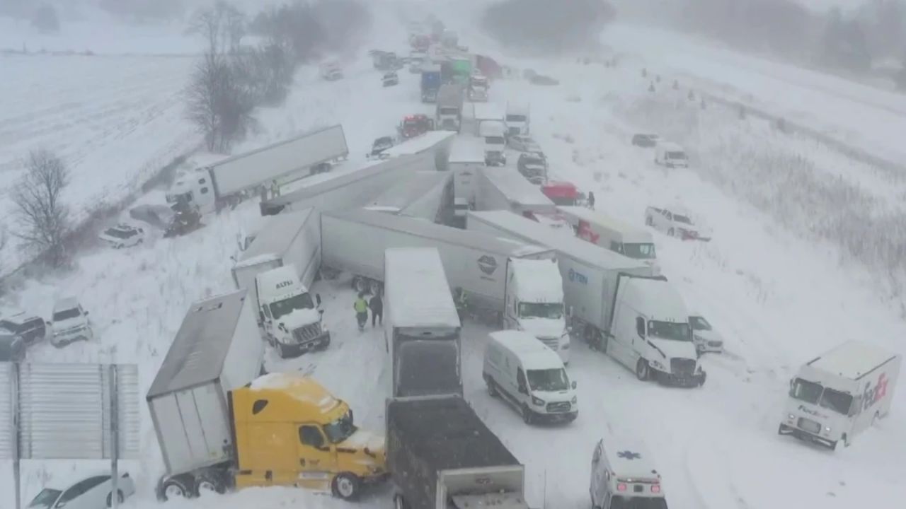
Washington, D.C. – With more than 160 million people across the United States under weather warnings on Jan. 21 and advisories expected to stretch into February, the National Weather Service is issuing updated guidance to help communities prepare for deep snow, dangerous ice, and prolonged subzero temperatures. The alerts come as a powerful Arctic blast sweeps large portions of the country, raising concerns about travel, power outages, and public safety, according to National Oceanic and Atmospheric Administration officials.
Millions Face Extreme Cold and Winter Storm Conditions
As of 4 p.m. on Jan. 21, roughly 230 million people were forecast to experience extreme cold below 20 degrees Fahrenheit, said Zack Taylor, branch chief at the Weather Prediction Center. At least 85 million people were under an extreme cold warning, watch, or advisory, while another 70 million were included in winter storm watches as the system continued to evolve.
Meteorologists emphasized that while confidence is high that a major storm will occur, uncertainty remains about its exact track and timing due to competing atmospheric patterns. Small shifts could significantly change which regions face the most dangerous conditions.
Storm Path Could Shift Impacts North or South
Weather forecasters say a more northerly storm path could intensify snow, ice, and wind chills in northern states, while a southward track could push bitter cold air and freezing rain deeper into the southern U.S. Officials urged residents to closely monitor local forecasts, noting that conditions may change rapidly through the weekend.
The weather service has also warned that the extreme cold may persist into early February, increasing the risk of prolonged exposure, frozen pipes, and infrastructure strain.
Understanding Watches, Warnings, and Advisories
With updated forecasts issued the afternoon of Jan. 21, some form of winter advisory, watch, or warning now covers more than 100 million people nationwide. These alerts stretch from parts of Montana and New Mexico eastward across the country.
The weather service defines the key alert terms as follows:
- Extreme cold watch – Issued when dangerously cold temperatures or wind chills are possible, but details such as timing or location remain uncertain.
- Winter storm warning – A significant and hazardous combination of winter weather is occurring or is imminent.
- Winter storm watch – Indicates the potential for dangerous winter weather within 48 hours.
- Winter weather advisory – Issued for freezing rain or moderate snowfall, typically 2 to 4 inches, that may cause significant travel disruptions.
Officials note that these alerts can overlap, meaning some areas may fall under multiple advisories at once as the storm evolves.
Key Messages Highlight Life-Threatening Risks
Through Jan. 26, the National Weather Service warns of life-threatening cold, dangerous wind chills, and hazardous snow and ice. People in affected regions are advised to prepare for possible power outages, stock essential supplies such as water and nonperishable food, and avoid unnecessary travel.
Officials also stress the importance of checking on vulnerable neighbors, family members, and pets during prolonged cold spells.
Hazardous Cold May Return Late January Into February
Even after the current storm system moves through, forecasters say conditions may not improve for long. The weather service warned on Jan. 21 that another round of hazardous cold could spread across the eastern half of the U.S. beginning around Jan. 28 and potentially lasting through Feb. 3, extending the period of winter danger for millions of residents.