Washington, D.C. – A powerful storm system is bringing another round of severe weather to large portions of the United States, including the South, Midwest, and East, while also delivering snow to parts of the Northern Tier. The system follows a volatile Thursday that produced multiple tornadoes and damaging winds across the Central Plains.
Forecasters say the storm will continue to impact the country through the weekend, with threats ranging from flash flooding and severe thunderstorms to snow and widespread strong winds.
Severe Weather Threat Continues Into Saturday
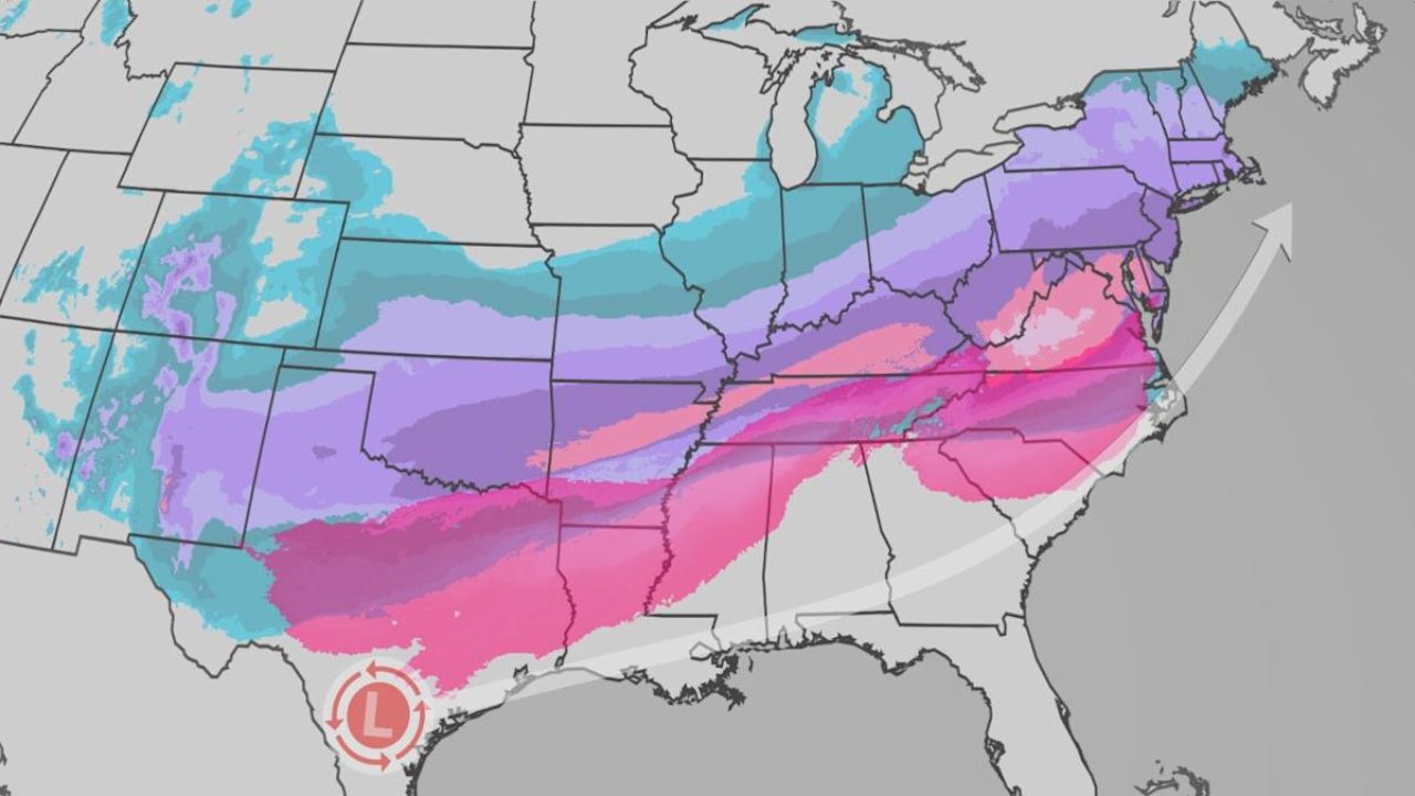
A frontal system capable of producing severe thunderstorms and flash flooding is moving across the Gulf Coast and Southeast overnight into Saturday morning. The highest risk for locally heavy rainfall and flooding remains in the Deep South, particularly southern Mississippi and western Alabama, where localized rainfall totals could exceed five inches.
Some storms may also produce damaging wind gusts and isolated tornadoes, especially across parts of the Southeast.
Snow and Rain Spread North and East on Saturday
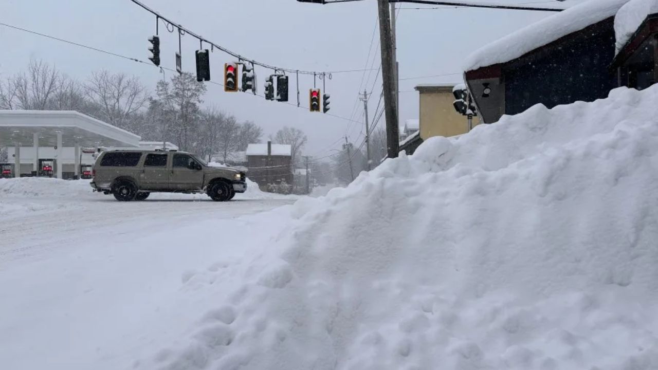
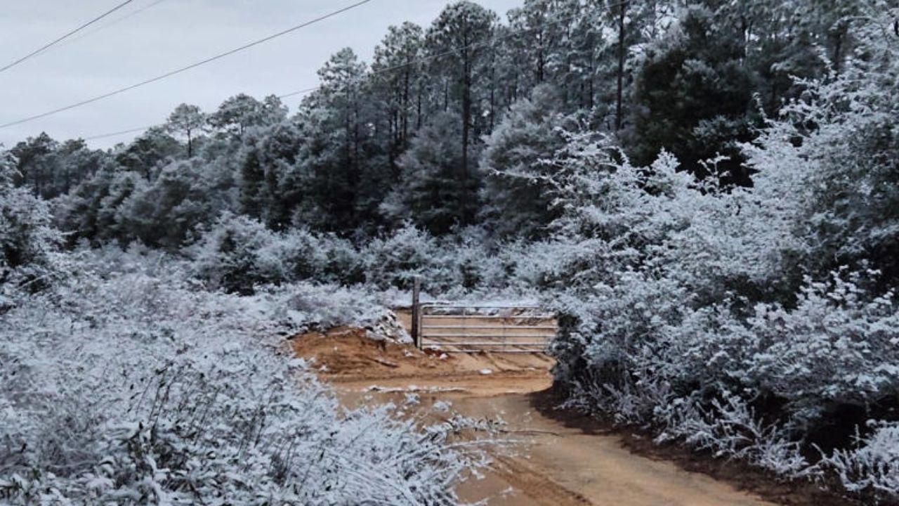
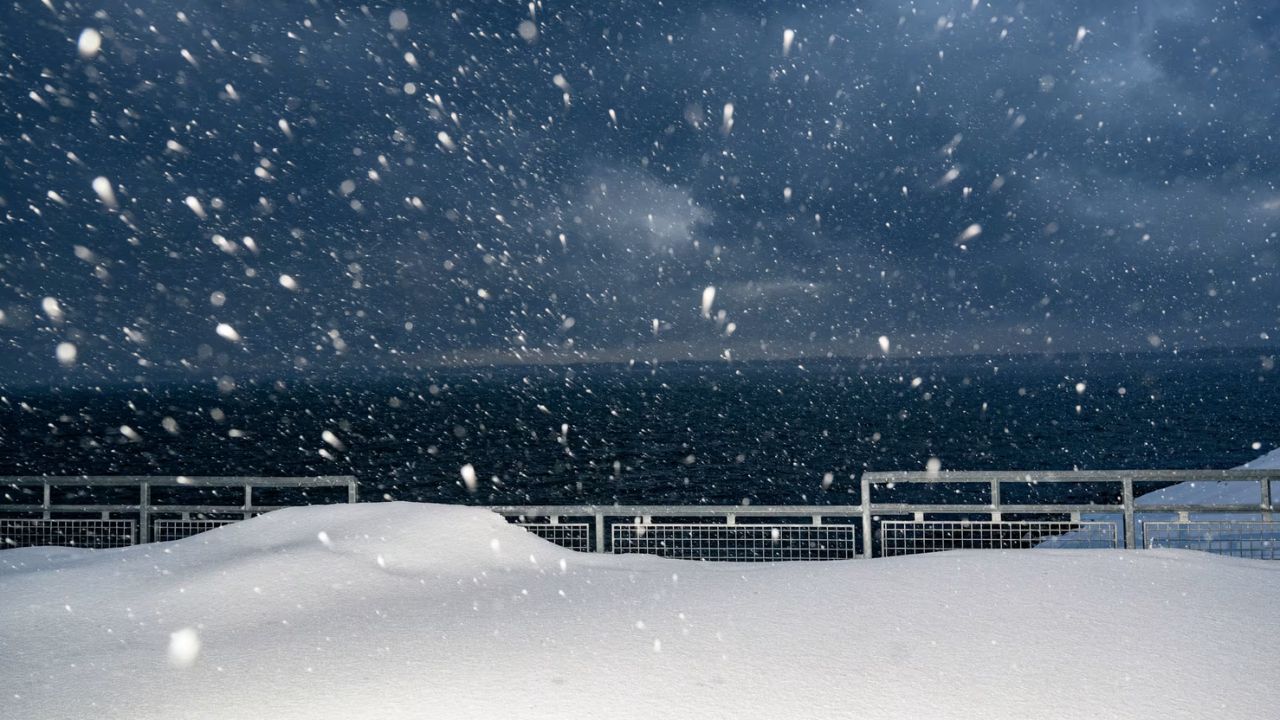
By Saturday, colder air wrapping into the system will allow light to moderate snowfall across parts of the western Great Lakes and upper Midwest. Additional snow showers may also reach northern New England, though forecasters say this system will not be a major snow producer due to relatively mild air in place.
Meanwhile, steady rain will spread eastward into the Mid-Atlantic and portions of New England, including upstate New York. Thunderstorms may extend as far north as the Carolinas and mid-Atlantic ahead of the advancing cold front.
Strong Winds Expected Through the Weekend
One of the most widespread impacts from this storm will be strong winds, with gusts frequently exceeding 40 mph across the Plains, Midwest, and much of the East on Saturday. Gusty conditions are expected to continue into Sunday.
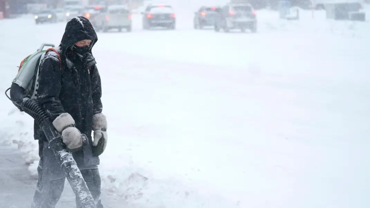
Forecasters warn that these winds could lead to downed tree limbs, scattered power outages, and difficult travel, particularly in areas experiencing snowfall where blowing snow may reduce visibility.
Sunday Brings Lingering Impacts
By Sunday, the primary concern across much of the Midwest and East will remain gusty winds. Some showers may persist along the East Coast, particularly in eastern New England, mainly during the morning hours.
Wrap-around snow showers could linger from parts of the Great Lakes into the Appalachians, upstate New York, and northern New England before the system gradually weakens.
Although colder air will follow the storm, temperatures are not expected to be dangerously cold and the chill is forecast to be short-lived.
Tornadoes and Damage Reported Earlier in the Week
Severe thunderstorms began early Thursday across the Southern Plains. Initial storms produced wind gusts near 60 mph and hail in the Oklahoma City metro area.
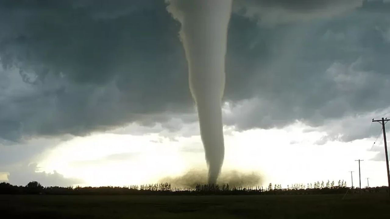
A tornado was confirmed near Purcell, Oklahoma, around 7:30 a.m. CT, where a semi-truck was blown over on Interstate 35 and several structures sustained damage.
The strongest reported wind gust reached 88 mph in Wynona, Oklahoma, causing roof damage to a home and nearby buildings. Another gust of 81 mph was recorded near Independence, Kansas, where power lines, poles, and outbuildings were knocked down.
After damage surveys, the National Weather Service office in Norman confirmed four tornadoes, including three EF1 tornadoes and one EF0, with additional damage areas still under investigation.

