Detroit, MI – Southeast Michigan is bracing for a rare January warm spell as rain, gusty winds, and near-record temperatures are forecast to move through the region from Thursday night into Friday. Weather officials caution that while the warmth will be unusual, it will be temporary as colder air returns later in the weekend.
Forecast: Near-Record Warmth in January
Forecasters say high temperatures across Southeast Michigan are expected to surge into the mid to upper 50s, with some areas possibly approaching 60 degrees, which is 20 to 25 degrees above typical January averages in the region.
If these temperatures are reached, they could challenge existing record highs. In Detroit, the record high for January 9 is 55 degrees, set in 1949, while in Flint, the all-time record high of 54 degrees was set in 1939.
Rain showers will begin spreading into the Metro Detroit area Thursday evening as a warm front lifts through the region. Unlike typical winter nights where temperatures fall, thermometers are expected to rise overnight, climbing into the 40s and 50s by early Friday morning.
A few isolated thunder rumbles could accompany the rain overnight. However, meteorologists indicate that strong thunderstorms are not expected with this system.
Windy Conditions and Travel Impacts
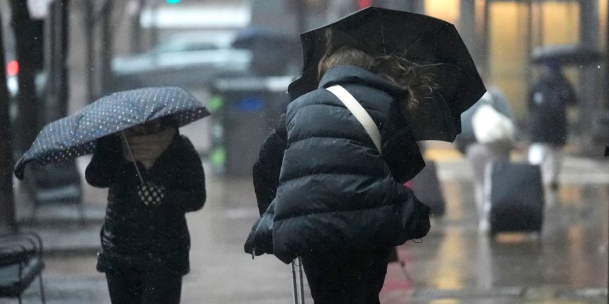
In addition to the rainfall and warmth, strong south to southwest winds are forecast to increase Thursday night into Friday, with gusts up to 40 mph possible — especially during the Friday morning commute and again behind the passing cold front.
The combination of rain and gusty winds may lead to:
- Ponding on roads
- Reduced visibility at times
- Difficult travel conditions for high-profile vehicles
Drivers are encouraged to exercise caution, particularly during peak travel periods Friday morning.
Warmest Day and Timing
Friday is expected to be the warmest day of this stretch of unseasonably mild weather. However, the timing of the peak temperatures will be unusual: forecasts indicate that temperatures will likely peak before noon, then hold steady or gradually fall throughout the afternoon and evening as a cold front moves through the region.
Changing Weather This Weekend
Once the cold front passes, cooler and breezy conditions are expected to settle in across Southeast Michigan heading into the weekend. Rain may linger into Saturday, with the possibility that it mixes with or changes to snow, particularly later Saturday into Sunday.
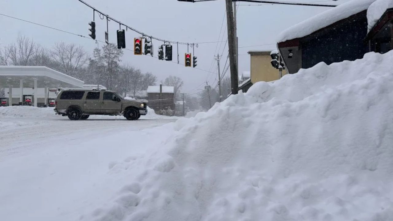
Sunday’s forecast calls for snow showers, which could produce light snow accumulations in some areas, along with the potential for brief bursts of heavier snow at times.
While this warm spell may feel more like March than January, it is part of a temporary weather pattern that has kept the Arctic air mass well to the **north of the Great Lakes.
Winter Is Not Over Yet
Meteorologists emphasize that despite the warmth this week, winter conditions are not finished. The return of colder air later in the weekend and potential for snow highlights that Southeast Michigan is still in the midst of the winter season.
Residents are advised to remain prepared for rapidly changing conditions — from rain and wind to cooler temperatures and snow — over the coming days.
Share your experiences in the comments below.

