Trenton, NJ – Residents of New Jersey are bracing for a frigid weekend, as temperatures are forecast to drop into the teens Friday night, accompanied by gusty winds and a slight chance of snow showers across parts of the state.
The National Weather Service (NWS) predicts that while the weekend will remain cold, a warming trend may begin early next week, bringing more moderate temperatures and a possibility of precipitation.
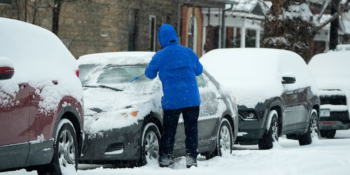
Bitter Cold Hits Friday Night
Friday evening will see temperatures dipping into the teens and low 20s across much of New Jersey under mostly clear skies. Residents are advised to bundle up, as northwest winds will contribute to lower wind chills, particularly in higher elevations.
While most of the state will remain dry, northwestern counties could see isolated snow flurries due to winds out of the west and northwest.
Weekend Outlook: Cold With Chance of Snow
Saturday will remain chilly, with highs primarily in the 30s, keeping conditions far below the early January average, which typically ranges from 40 to 44 degrees during the day and mid-20s at night.
A weak weather system moving across the state Saturday night into early Sunday morning could bring light snow or snow showers, particularly in northeastern New Jersey and higher elevations. Accumulations are expected to be minor, with the rest of the state seeing only a 20% to 30% chance of precipitation.
Sunday is expected to bring clearing skies, but temperatures will remain cold, with lows falling back into the teens and 20s. Wind chills could drop into the single digits in the northwestern high elevations, adding to the bitter conditions.
Early Week: High Pressure and Minor Snow
High pressure is expected to build on Monday, keeping most of New Jersey dry and cold. However, a weak clipper system passing north late Monday into Monday night could trigger light snow, mainly in northern counties. Officials note this system appears moisture-starved, limiting potential impacts.
Midweek Warming Trend
By Tuesday, a warm front is expected to push across the region, lifting high temperatures into the 40s. This transition could bring scattered precipitation Tuesday afternoon or evening. Forecasters are monitoring northern sections for a potential risk of freezing rain if cold air remains trapped near the surface.
Wednesday may bring the warmest day of the week, with temperatures climbing into the 50s ahead of a cold front, which is expected to bring rain showers during the day. Following the front, Thursday is expected to be dry as high pressure returns, with temperatures staying above average.
Rain chances may return by Friday as another storm system approaches, signaling the potential for more unsettled weather heading into the second week of January.
Safety and Preparedness
Forecasters encourage residents to dress warmly, prepare for icy conditions in higher elevations, and stay updated on changing weather forecasts, particularly for travel during early mornings and late evenings.
How are you preparing for New Jersey’s cold weekend and chance of snow? Are you excited about the warming trend next week or concerned about potential icy conditions? Share your thoughts and experiences in the comments below.