Los Angeles, California — California is showing little sign of drying out as a series of storms continues to target the state through early next week, keeping flood risks elevated from Southern California to the far north.
While the storm that soaked Southern California on Thursday is moving out, forecasters warn that another atmospheric river arrives late Friday, followed by additional systems Sunday and Monday into Tuesday, prolonging hazardous conditions.
Flood warnings remain in effect after Thursday storm
Ahead of Thursday’s storm, evacuation warnings were issued in parts of Los Angeles County amid concerns over debris flows and flash flooding similar to those seen during a destructive storm around Christmas.
So far, Southern California has avoided widespread structural damage, but flooding impacted major roadways, prompting officials to keep warnings in place as saturated ground remains vulnerable.
Road flooding causes rescues and closures
Flooding was most pronounced across San Diego County, where water covered portions of Interstates 5 and 8 early Thursday. Crews from the San Diego Fire Department were called in to rescue drivers trapped in floodwaters, highlighting how quickly conditions deteriorated.
Farther north, flooding forced the closure of a stretch of the Pacific Coast Highway in Huntington Beach, according to Caltrans.
With more storms on the way, officials warn that flooded roads could become a recurring issue across the state.
Another atmospheric river arrives this weekend
Forecasters say the next atmospheric river–fueled storm will move into California late Friday into Saturday, bringing another round of widespread rain.
Two additional systems are then expected to arrive:
- Sunday
- Monday into Tuesday
This “conga line” of storms raises concerns about cumulative rainfall, especially in areas already soaked by recent systems.
Areas facing the highest flood risk
While localized flooding is possible statewide, forecasters say more serious flooding could develop in specific regions.
Read Also: Bay Area King Tides Return for New Year 2026 as Coastal Flood Advisory Takes Effect
A flood watch is in effect for northwest California from Friday afternoon through Sunday, where repeated rain could cause rivers and streams to rise quickly.
Southern California also remains at risk. The Weather Prediction Center has issued a Level 2 of 4 flooding rain threat for areas from Los Angeles north to Santa Barbara this weekend.
Colder air brings heavy mountain snow
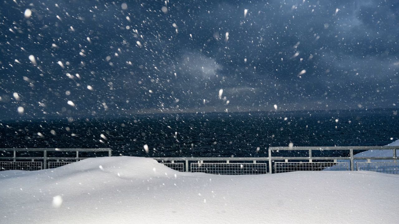
As these storms move inland, colder air will lower snow levels, allowing snow to fall below major mountain pass elevations.
This includes Interstate 80 through Donner Pass, where winter travel conditions could deteriorate rapidly.
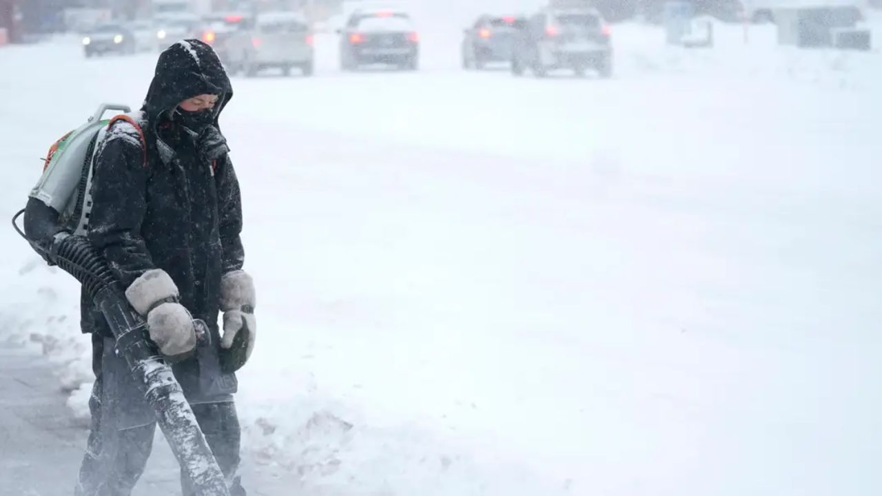
In the Sierra Nevada, over a foot of snow is likely at ski resorts, with some locations potentially receiving 3 to 4 feet of snow through the weekend. Exact totals remain uncertain, but officials warn that mountain travel could become hazardous or impossible at times.
Avalanche danger remains a concern
Heavy snowfall also increases avalanche risk in the high country. Last Friday, an avalanche at Mammoth Mountain Ski Area killed one ski patroller and injured another, underscoring the dangers associated with deep, unstable snowpack following major storms.
Little relief expected into next week
With storms lined up through early next week, emergency managers urge residents to remain alert. Saturated soils, swollen waterways, and repeated rounds of rain mean that even moderate additional rainfall could trigger flooding or debris flows, especially near burn scars and steep terrain.
Officials recommend:
- Avoiding flooded roadways
- Monitoring local alerts and evacuation notices
- Delaying non-essential travel, especially in mountain areas
- Preparing for potential power outages and road closures
An active pattern shows no quick exit
Meteorologists say this prolonged stormy pattern reflects a broader shift toward persistent Pacific storm activity, leaving California stuck in a wet and unsettled stretch as the new year begins.
Are you dealing with flooded roads, heavy rain, or mountain snow where you live? Share what conditions look like in your area in the comments, and help others stay informed as California’s stormy pattern continues.


