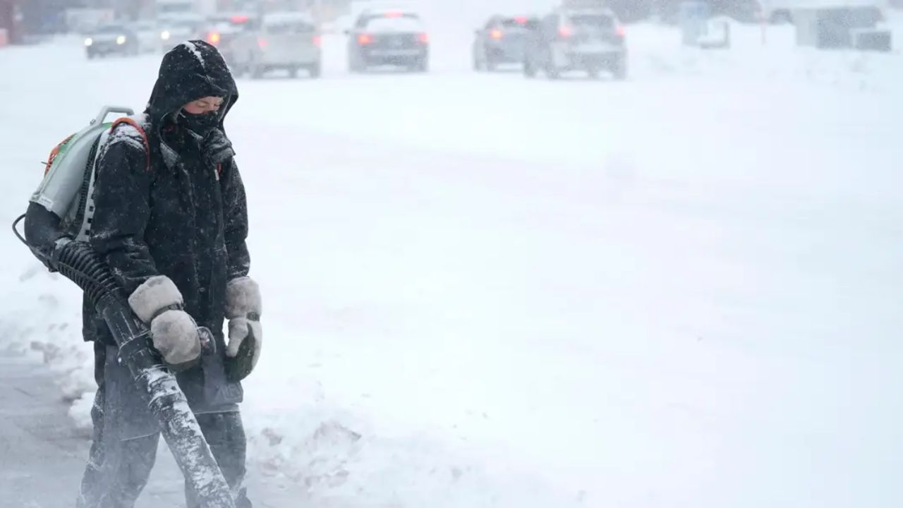
Trenton, NJ – New Jersey residents may not wake up to a white Christmas this year, but forecasters warn that significant winter weather could arrive immediately after the holiday, bringing snow, ice, and major travel disruptions across much of the Garden State.
According to meteorologists at AccuWeather, a late-week winter storm is expected to move into the region on Friday and linger into early Saturday, potentially creating hazardous conditions on roads and at airports during one of the busiest travel periods of the season.
Snowfall Forecast: Northern vs. Southern New Jersey
AccuWeather predicts a widespread snowfall event across New Jersey, with totals varying significantly by region.
- 3 to 6 inches of snow are expected across northern New Jersey
- 1 to 3 inches of snow could fall across southern counties
Forecasters caution that these totals are subject to change, depending on the storm’s track, timing, and surface temperatures when precipitation begins.
In addition to snow, some areas may see sleet or freezing rain, which could drastically worsen road conditions even where snowfall amounts remain modest.
Ice Threat Near Pennsylvania Border
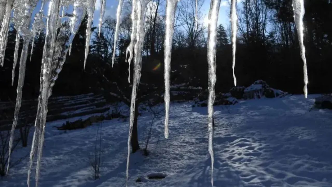
While snow is the primary concern for many residents, ice accumulation could be the most dangerous aspect of the storm for parts of the region.
AccuWeather reports that eastern Pennsylvania and far western sections of New Jersey could experience heavy icing, depending on how warm air moves in above colder surface temperatures.
Even a thin glaze of ice can lead to vehicle spinouts, accidents, downed power lines, and power outages, especially in rural and elevated areas.
National Weather Service Closely Monitoring the Storm
The National Weather Service (NWS) has not yet issued official snowfall totals for the storm but says it is closely monitoring the developing system.
“The potential is certainly there for accumulating snow, possibly significant, for areas north of Philadelphia,” the NWS New Jersey office said.
Meteorologists emphasized that forecast confidence remains limited due to uncertainty about whether cold air will remain in place long enough when moisture arrives.
“There is a lot of uncertainty with this system,” the agency explained. “High pressure to the north will result in some cold air being in place, but warm air aloft will be trying to erode that cold air.”
Transition Zone Could Create a Messy Mix
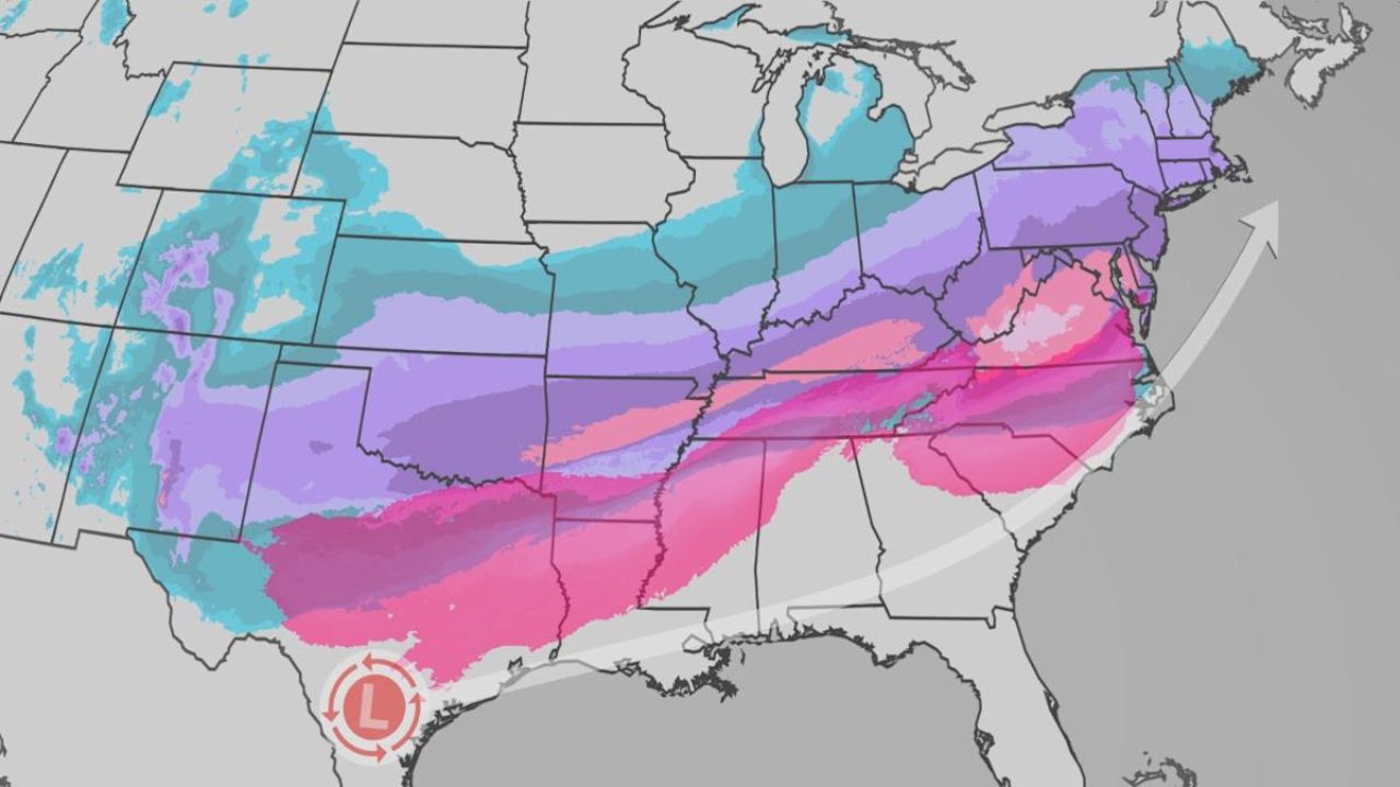
Forecasters warn that New Jersey could end up in a transition zone, where multiple precipitation types occur over short distances.
“There likely will be a transition zone setting up over our area between rain, sleet/freezing rain, and snow,” the weather service said.
The track and timing of the surface low-pressure system will ultimately determine which parts of the state see heavy snow versus icy or rainy conditions.
Accumulating Snow Increasingly Likely in Northeast New Jersey
The NWS New York regional office, which handles forecasts for New York City and five northeastern New Jersey counties, says confidence is increasing that accumulating snow will occur.
“An accumulating snowfall is becoming more likely Friday afternoon into Saturday,” the office said.
Officials estimate the probability of 3 inches or more of snow ranges from 50% to 90% from Long Island through New York City into northeastern New Jersey and the Lower Hudson Valley.
Still, forecasters caution that storm-track uncertainty remains the biggest variable.
Gusty Winds Arrive Before the Snow
Before the winter storm arrives, New Jersey will first contend with strong, gusty winds.
A cold front moving through the state Tuesday night into Wednesday (Christmas Eve) is expected to produce:
- 30 to 40 mph wind gusts in areas northwest of Interstate 95
- 25 to 30 mph gusts in areas southeast of I-95
The winds could result in downed tree limbs, scattered power outages, and hazardous travel for high-profile vehicles. Gusts are expected to ease by Wednesday afternoon.
Travel Impacts and Safety Concerns
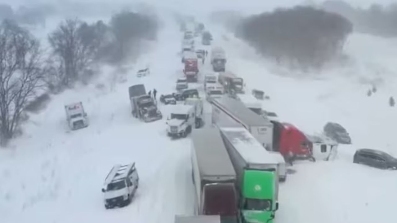
With post-holiday travel expected to be heavy, officials urge residents to monitor forecasts closely, allow extra travel time, and prepare for delays and dangerous driving conditions late this week.
Meteorologists say clearer details should emerge over the next one to two forecast updates.
Do you think this storm will bring significant snow to New Jersey, or will warmer air limit impacts? Share your location and preparation plans in the comments — and let others know what you’re expecting where you live.

