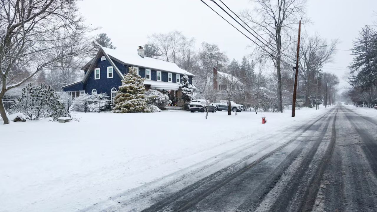
Metro Detroit, Michigan – Residents of Metro Detroit are heading into the final weekend before Christmas with temperatures below normal and a mostly quiet, wintry weather pattern. Light snow showers are tapering off Friday evening, but the cold air will stick around as the region transitions into the holiday week.
Friday Night: Snow Showers End, Cold Temperatures Arrive
Friday evening will see light snow showers diminishing as winds slowly decrease. Overnight, skies will remain mostly cloudy, with low temperatures dropping into the teens in the Thumb region and the lower- to mid-20s across Metro Detroit. Residents are advised to bundle up as temperatures dip into the cold range, especially for those out for holiday shopping or evening errands.
Saturday: Mostly Cloudy With Chance of Flurries
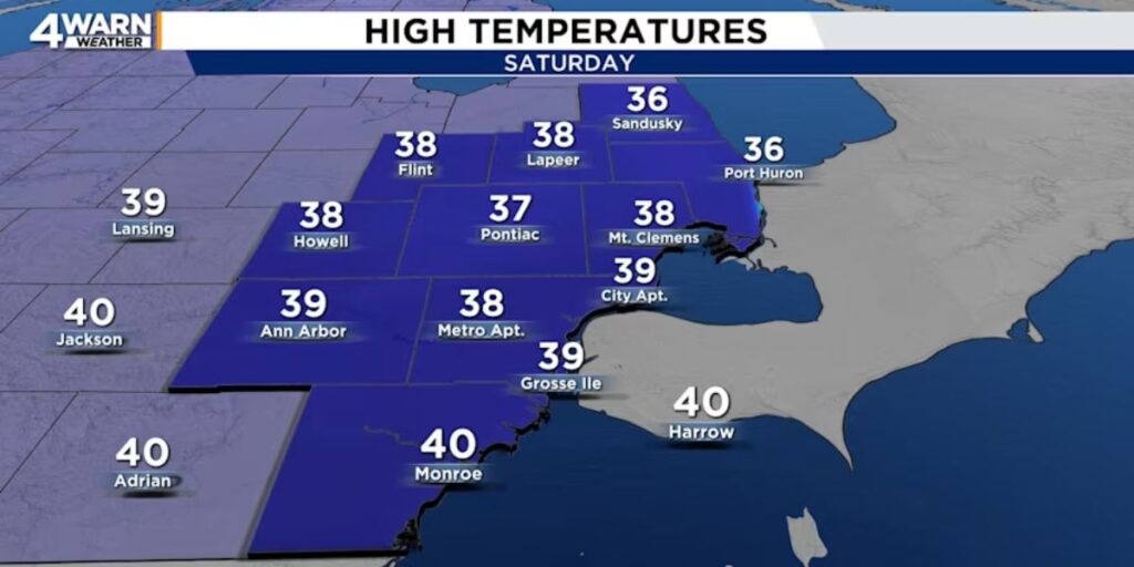
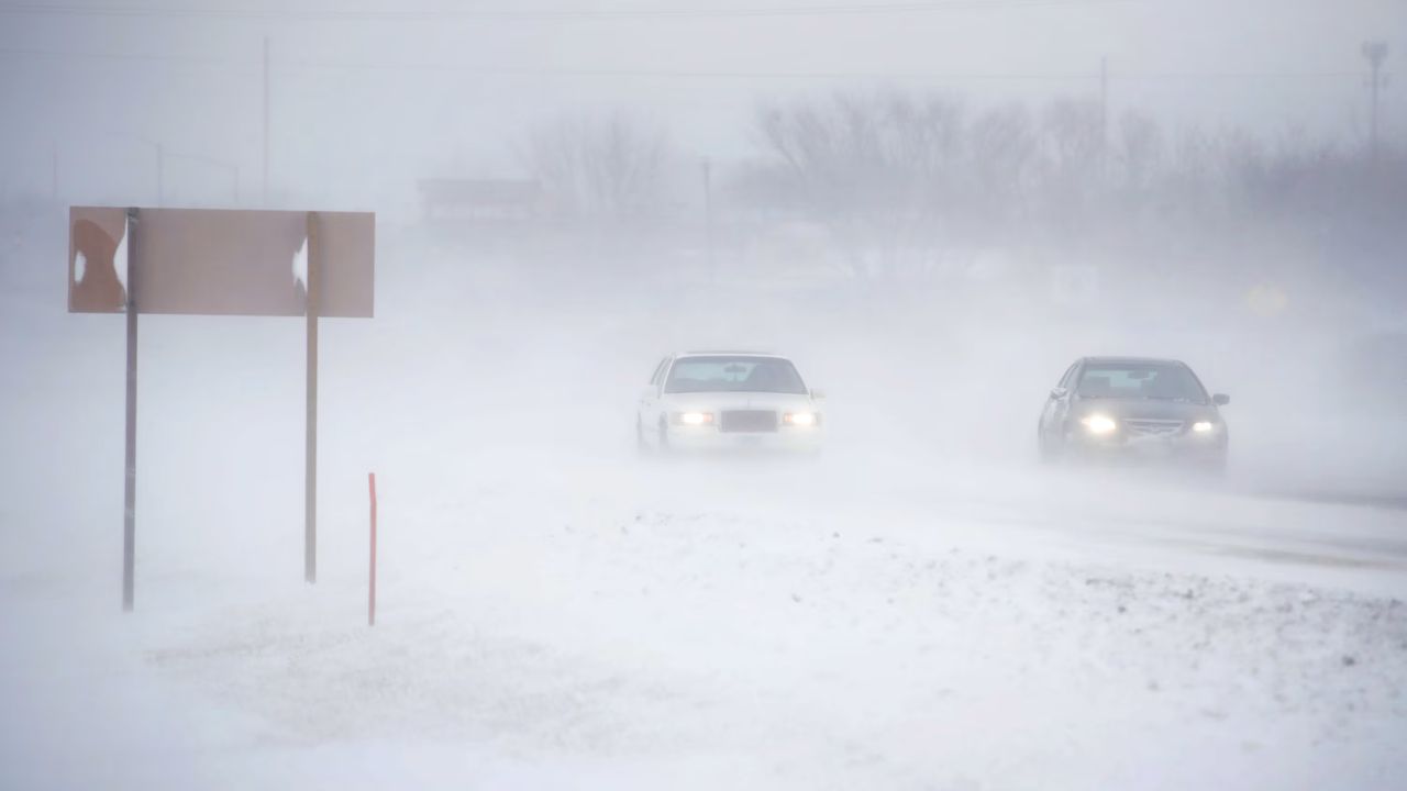
Saturday will bring mostly cloudy skies and a breezy atmosphere, with highs reaching the mid-30s to near 40 degrees. Forecasters note a chance of light sprinkles and snow flurries throughout the day, and a brief rain-snow mix is possible late in the afternoon and into the evening. No accumulation is expected, but drivers should remain cautious on potentially slick surfaces.
Sunday: First Day of Winter Brings Colder Conditions
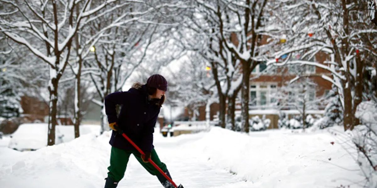
Sunday, marking the first day of winter, turns colder once again with highs in the mid-20s and brisk west-northwest winds. Skies will be partly cloudy, creating classic wintry conditions for early winter enthusiasts. Residents are encouraged to dress warmly, especially when attending outdoor events or traveling.
Sporting Events Downtown Bring Fans Outdoors
Metro Detroit will see two major home sporting events this weekend, which could bring crowds into cold conditions:
- Detroit Red Wings vs. Washington Capitals at Little Caesars Arena, Sunday at 1 p.m. Temperatures are expected to hover in the mid-20s, with partly cloudy skies. Fans should prepare for the cold, even if the arena is indoors.
- Detroit Lions vs. Pittsburgh Steelers at Ford Field, Sunday at 4:25 p.m. While the game is indoors, outside tailgating areas will experience mid-20s temperatures and noticeable wind chill. Gloves, hats, and hand warmers are recommended, and tailgaters should watch for icy patches on sidewalks or parking lots.
Warming Trend Ahead for Christmas Week
Looking beyond the weekend, Metro Detroit can expect a warming trend leading into Christmas week:
- Monday: Highs climb into the mid-30s, with a chance of rain and snow at night.
- Tuesday and Wednesday: Highs will rise into the upper-30s to lower-40s, with a potential for rain late Wednesday night into Thursday.
- Christmas Eve (Wednesday) and Christmas Day (Thursday): The region is expected to see mostly cloudy skies and milder-than-average temperatures, with highs reaching the upper-40s to lower-50s in parts of southeast Michigan.
Although light rain and wet roads may affect holiday travel, particularly Wednesday night into Thursday morning, forecasters do not anticipate major disruptions in southeast Michigan.
Are you excited for a classic cold Christmas weekend, or are you looking forward to the milder holiday temperatures ahead? Will you be attending the Red Wings or Lions games despite the cold weather?
Share your thoughts in the comments below and join the conversation.