Chicago, Illinois — A pair of winter systems are set to sweep across the Midwest between Thursday night and Saturday night, laying down a northwest-to-southeast corridor of plowable snow. But the biggest unknown for forecasters remains the same: how far north will the snow reach, and will the Chicago area fall within the heavier bands?
Cold, Cloudy Thursday Sets the Stage
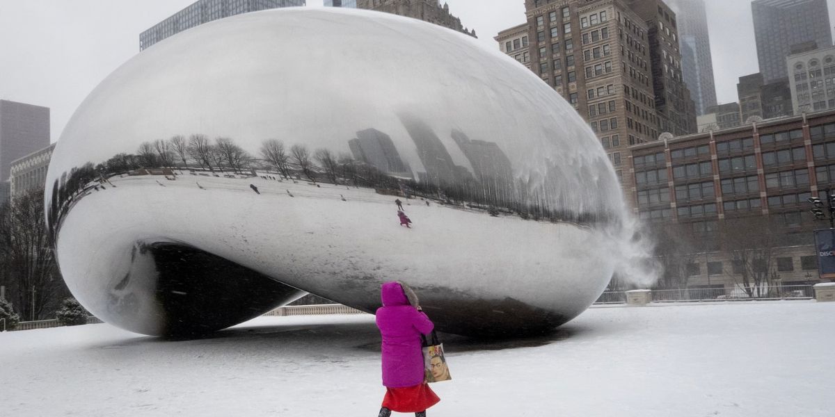
Thursday is shaping up to be another cold, gray day in Chicago, with mostly cloudy skies and afternoon highs stuck in the mid-20s. The city is already locked into a colder-than-normal pattern, and these temperatures will continue to set the tone as the first storm approaches.
First Snowstorm Arrives Tonight — But Stays Mostly Southwest
The initial winter storm is expected to move into the region Thursday night into Friday morning. Most forecast models—including the ones favored by local meteorologists—continue to keep the majority of the accumulating snow southwest of Chicago.
Some far-southwestern counties could pick up a couple of inches, but the city and much of the immediate metro area may only see light snow or flurries, especially by Friday afternoon and evening, when the system begins to taper off.
Even with limited snowfall potential, cloud cover will remain widespread, and Friday’s temperatures are expected to reach only the upper 20s to near 30 degrees.
Second Snowstorm Tracks Farther South — But Still Worth Watching
The second storm system, expected to roll in late Friday night through Saturday afternoon, is showing a consistent trend southward into central Illinois.
Once again, this places the best chance for measurable snow in areas southwest of Chicago, especially closer to central parts of the state. Current projections lean strongly toward lighter totals for the Chicago viewing area as a whole.
However, meteorologists caution that a northward shift of even 100 miles in either storm’s track could dramatically increase snowfall totals across Chicagoland. While that scenario appears less likely, it can’t be ruled out entirely—a common challenge with winter systems that straddle sharp atmospheric boundaries.
Arctic Cold Will Be the Real Story
Whether Chicago misses out on significant snow or not, one thing is guaranteed: the cold is coming.
Temperatures on both Saturday and Sunday will struggle to climb out of the low double digits, marking some of the coldest air of the season.
Even more concerning are the projected wind chills, which could dip as low as –20°F, raising the risk of frostbite for anyone outdoors for extended periods. Residents should prepare for dangerously cold conditions, especially overnight and during the early morning hours.
A Pattern Shift — And a Break — Expected Next Week
While the weekend will be dominated by Arctic air, forecasters say a significant atmospheric shift is likely heading into next week. This change could bring much milder temperatures, effectively shutting down the parade of snow-producing systems that have repeatedly targeted the region.
If current trends hold, Chicago could rebound from the bitter weekend with more seasonable, manageable winter weather, offering a welcome break from the cold and uncertainty of back-to-back snow chances.
What’s Your Forecast?
Are you expecting measurable snow in your part of the Chicago area, or do you think the storm will stay south?
Share your local conditions, thoughts, and forecasts in the comments below!


