Bozeman, Montana — Montana is experiencing one of the most extreme mid-December weather patterns in recent memory, with moderate to heavy rainfall already causing flooding issues in the northwest part of the state, particularly Lincoln County.
The National Weather Service (NWS) has issued multiple flood watches, warnings, and advisories extending into Thursday evening, with potential for extension into Friday.
While flooding is currently the primary concern in NW Montana, forecasters say the heavy precipitation is moving southward, reducing the immediate risk in the northwest counties.
Arctic Air Collides With Subtropical Moisture
A wave of Arctic air is gradually moving into northern and central Montana by Thursday afternoon. Current temperatures illustrate the sharp contrast: Cut Bank is experiencing 5°F, compared to 59°F in Billings.
As the warm, moist subtropical air overrides the cold Arctic surface air, this combination is creating strong atmospheric lift, dramatically increasing the likelihood of widespread heavy snow across much of Montana east of the Continental Divide.
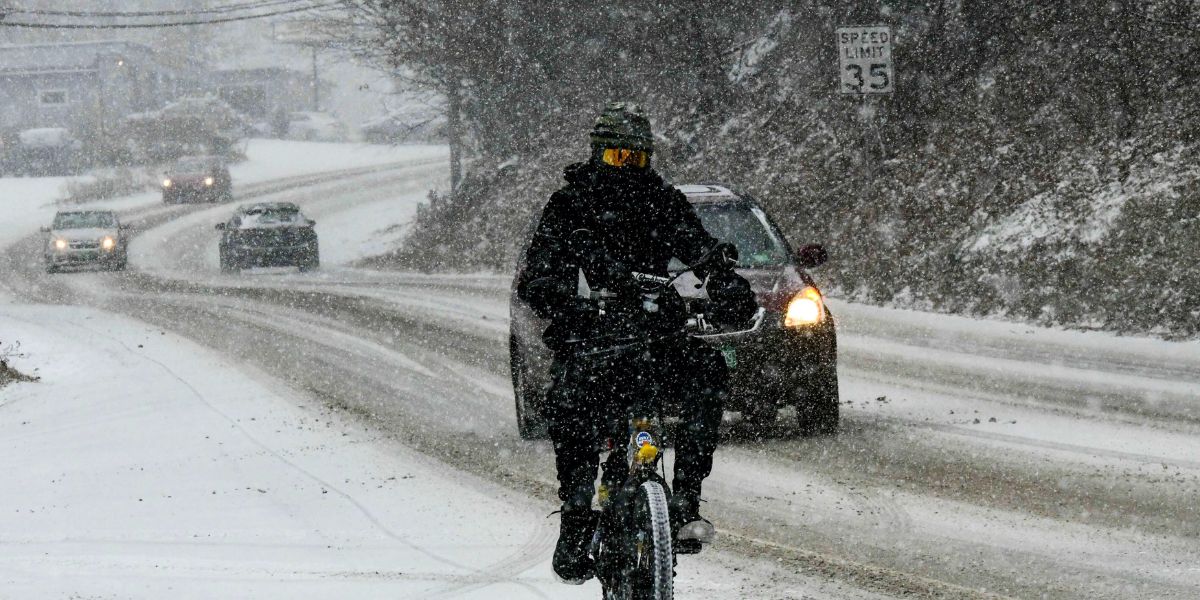
Meteorologists note the possibility of mixed precipitation, including freezing rain, through Thursday evening, but significant snow accumulation is expected as the Arctic air fully settles in.
Regional Impacts
- SW Montana: Largely expected to remain in the warm sector, meaning rain in valleys and snow in higher elevations. Snowfall totals in SW Montana are likely to remain light compared to central and eastern counties.
- Northern, Central, Eastern, and SE Montana: Winter Storm Warnings are in effect from Thursday evening through Saturday morning.
- Expected snow totals: 6–12 inches in most valleys, with isolated areas potentially exceeding 20 inches.
- Wind gusts: Up to 40 mph, creating localized blowing and drifting.
- Area of greatest concern: Stretching from Cut Bank to Billings.
Forecasters warn that if the storm develops as expected, road crews may struggle to keep highways and local roads clear from Thursday night through Friday night.
Precautions for Residents
Officials urge Montana residents to:
- Monitor NWS alerts and advisories
- Avoid non-essential travel during the storm
- Prepare for hazardous road conditions, blowing snow, and possible power outages
- Ensure supplies and emergency plans are in place, especially for rural areas
The coming storm marks a dramatic shift from unseasonably warm conditions earlier in the week, underscoring the volatility of mid-December weather in Montana.
Join the Conversation
How are you preparing for this mid-December winter storm in Montana? Are local road crews ready to handle heavy snow and flooding in your area?
Share your thoughts in the comments — your tips and updates could help fellow Montanans stay safe.


