Washington, D.C. – The D.C. region is experiencing a bitterly cold start to December, with temperatures more typical of mid-January than early winter. While the first official day of winter in the Northern Hemisphere is Dec. 21, 2025, residents have already felt the full force of Arctic chill across the area.
Coldest Start to December in Two Decades
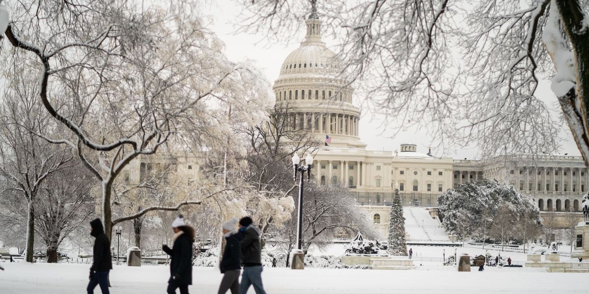
The first 10 days of December have brought the coldest start to the month in 20 years for Washington, D.C. After seven consecutive years without measurable snowfall in December, snowflakes have already returned to the region, and additional accumulation is possible this weekend.
Forecasters warn that even minor snowfall could cause travel disruptions, though no major blizzards are currently expected. The FOX 5 Weather Team is tracking two potential winter threats over the next five days, with one posing a higher risk for accumulation than the other.
Friday’s Clipper System
The first system is a fast-moving clipper approaching the Mid-Atlantic from the Midwest, expected to pass through Friday, Dec. 12, 2025. While this system carries some moisture, models indicate it will weaken significantly over the Appalachian Mountains.
For much of the D.C. area, this means scattered snow showers or flurries, with occasional light coating possible in some neighborhoods. The heaviest snowfall is likely confined to western mountain zones, leaving most residents with little more than a dusting.
Potential Weekend Snowstorm
The second system, arriving late Saturday night into early Sunday morning, Dec. 13–14, 2025, carries a greater chance for measurable accumulation. Meteorologists emphasize that this is not expected to be a major snowstorm with six or more inches, but one to three inches of snow is possible across the D.C. region, with isolated areas seeing two to four inches.
The key factor is the strength of Arctic air pushing into the eastern U.S., expected to bring subzero temperatures to the Midwest and Northern Plains by Sunday, affecting cities like Minneapolis and Chicago. A low-pressure system may develop ahead of the cold front and move up the East Coast, bringing snow if the timing and track align.
Two Possible Scenarios
- Closer Track: If the storm moves closer to the coast, heavier snow could accumulate in parts of the D.C. region, causing slippery travel conditions Sunday.
- Further South: If the storm stays too far south or east, or if the cold air arrives too quickly, the D.C. area could see only a few harmless flurries or no snow at all.
Preparation and Precautions
Residents are advised to keep warm and monitor updates, as Sunday and Monday are likely to be the coldest days of the season so far. Even without major snow, extreme cold could impact travel, outdoor activities, and daily routines.
Meteorologists recommend checking the latest forecasts through Saturday evening, as small shifts in the storm track could significantly affect snowfall totals in the D.C. metro area.
How are you preparing for the cold?
Will you embrace the winter weather or stay cozy indoors? Share your plans, tips, and snow photos in the comments below as D.C. prepares for Arctic temperatures and potential snow.


