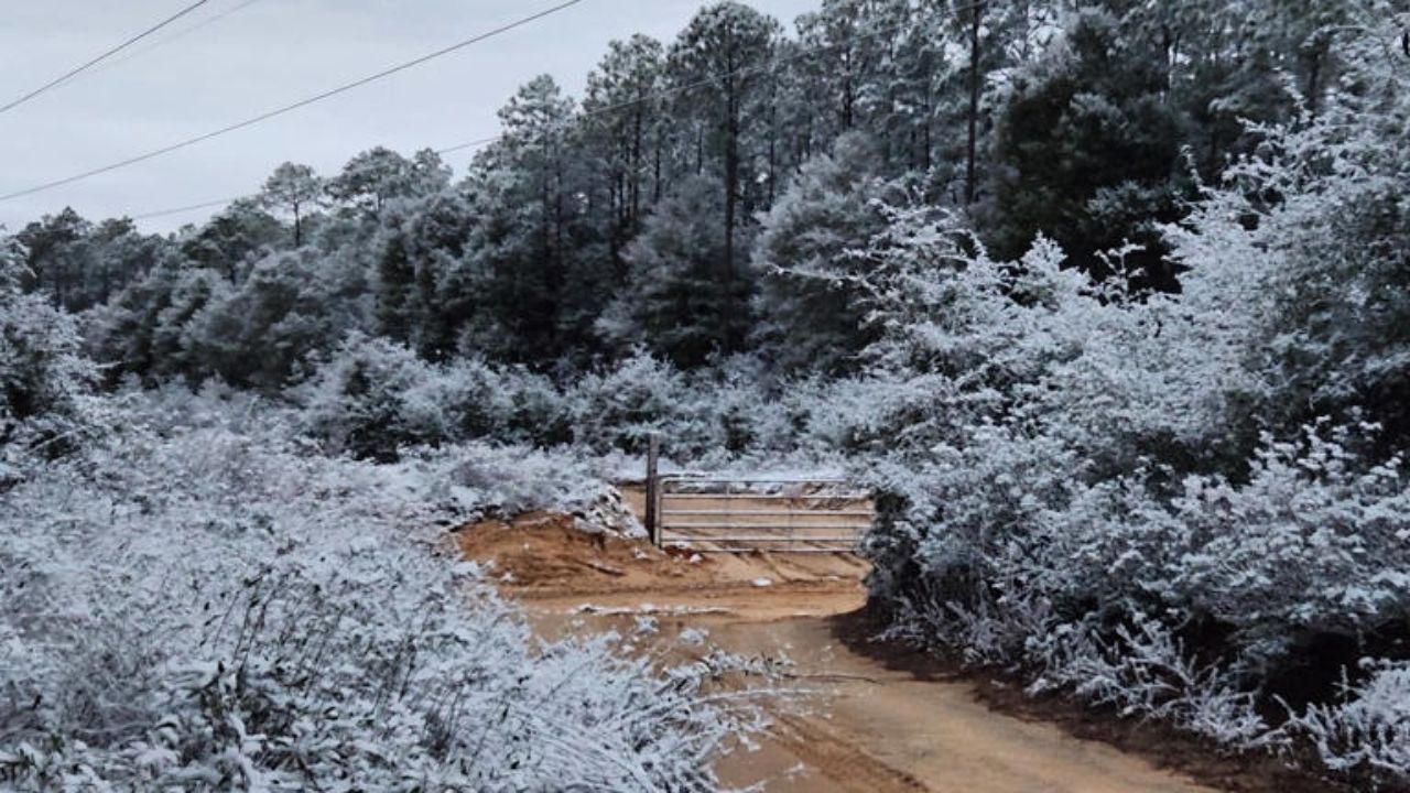
Kansas City, Missouri — Kansas City residents woke up to crisp frost and temperatures near 24°F, but the metro is now preparing for a dramatic weather reversal. A stretch of sunshine and warmer winds will deliver a notable warm-up into the mid-50s before another cold blast sweeps across Missouri later in the week, returning conditions to near freezing.
Early Week Begins Cold but Clears Quickly
The National Weather Service in Pleasant Hill reports that Monday brings a slow but steady clearing trend as morning frost lifts. Highs will struggle to reach 40°F, but increased sunshine will help moderate the early-day chill.
Forecasters say the pattern begins shifting more noticeably overnight as winds turn southerly. This wind direction change will act as the catalyst for a significant temperature rebound across the region, setting the stage for one of the warmest days Kansas City has seen so far this month.
Tuesday Brings a Surge Into the Mid-50s
By Tuesday afternoon, temperatures are expected to rise to around 54°F, nearly 30 degrees warmer than the morning lows seen to start the week. Sunshine will dominate the skies, but brisk south winds will also develop, reaching 20–25 mph at times.
These gusty conditions may create challenging crosswinds along major corridors such as I-70 and I-35, potentially affecting high-profile vehicles like trucks, RVs, and trailers. While weather impacts remain minimal, transportation officials and drivers are advised to remain aware of rapidly changing wind patterns.
Despite the wind, Tuesday is poised to be the most comfortable day of the week, offering a temporary break from December’s typical chill.
Midweek Cooling Begins
On Wednesday, temperatures begin a gradual slide back toward seasonal norms. Highs dip into the low 40s, marking the start of a cooling trend that will intensify moving into late week.
Clouds may increase at times, but moisture remains limited, meaning no precipitation is expected during the midweek transition. However, forecasters caution that even subtle changes in wind direction and cloud cover can accelerate temperature drops during early winter.
Strong Northwest Flow Drives a Winter Return
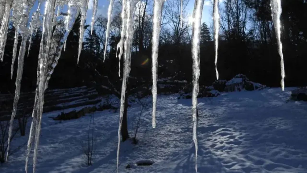
By Thursday and Friday, a surge of Arctic air shifts into the region as a strong northwest flow builds behind an advancing cold front. High temperatures are projected to range from the upper 20s to low 30s, marking a steep drop from Tuesday’s warm-up.
Overnight lows will turn sharply colder as well. By early Saturday morning, temperatures could fall to around 11°F, with wind chills dipping into the single digits at times.
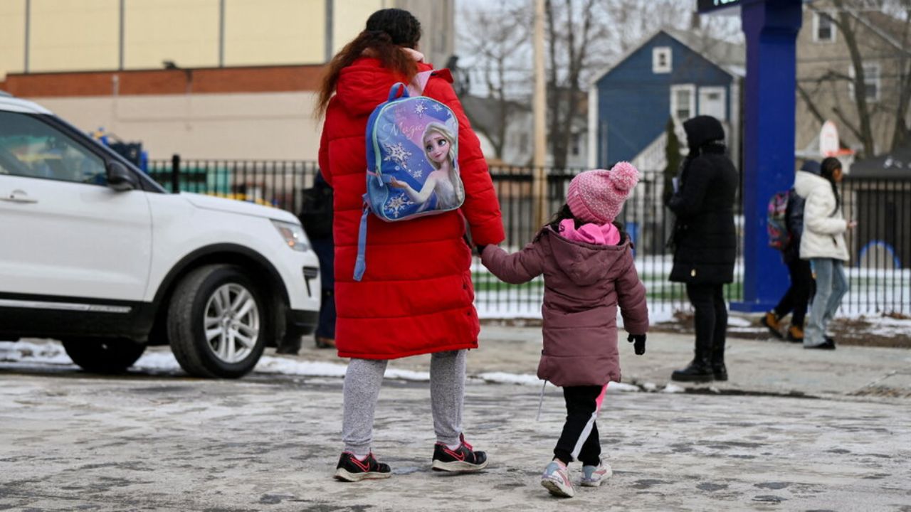
Even without snowfall, forecasters warn that these quick transitions can lead to slick morning conditions, especially on bridges, overpasses, parking lots, and untreated neighborhood roads. Melted frost or residual moisture can refreeze rapidly, creating patchy “flash freeze” spots that may catch drivers off guard.
Read Also: New Mexico Braces for Gradual Warming after Coldest Morning of Season
No Immediate Snow, but Wintry Pattern Looms
Although the short-term outlook remains dry, long-range weather models are hinting at the development of another Midwest storm system between December 11–17. Early projections suggest the possibility of light snow or a wintry mix returning to Missouri and neighboring states.
Meteorologists stress that confidence remains low this far out, but the pattern suggests the region will continue toggling between warm surges and sharp cold snaps — a classic indicator of an active winter season.
For now, residents should take advantage of Tuesday’s warmth while preparing for the rapid cooldown ahead. Layering, winterizing vehicles, and allowing extra time for morning travel will be especially important as the late-week Arctic air settles in.
Share Your Thoughts
How do you think these rapid temperature swings affect winter travel and daily routines in Kansas City?
Share your thoughts in the comments below.

