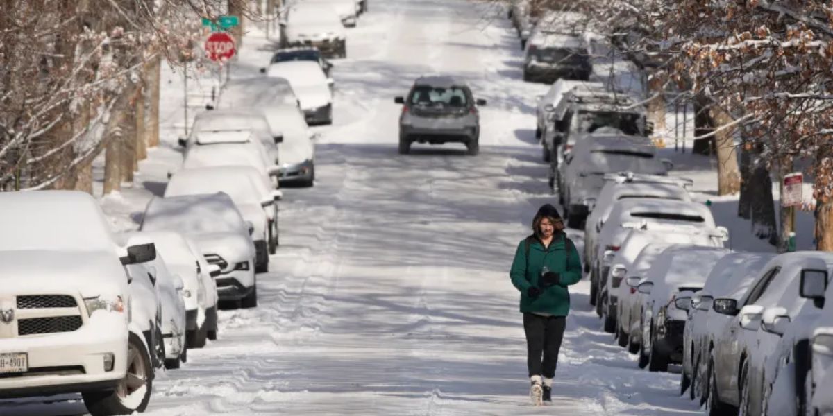
Minneapolis, MN — After a round of light snow swept across Minneapolis late this afternoon and evening—leading to slippery roads, slow commutes, and scattered travel disruptions—the region is now preparing for a stretch of intensifying cold. Most locations recorded up to 1 inch of accumulation before the system tapered off.
With air and road temperatures already well below freezing, the thin layer of snow is expected to linger for several days. Any untreated surfaces may remain slick through the end of the week.
Tonight, the sky stays mostly cloudy, while lingering flurries fade away. Temperatures will dip to around 17°F, but the bigger story comes from wind chills, which may plummet to -10°F in some spots.
Thursday: Sunshine Returns, But So Does the Cold
The gradual clearing of clouds overnight will lead to a mix of sunshine and passing clouds on Thursday. Even with the return of brighter skies, the cold keeps its grip, with highs only reaching the lower 20s.
The day begins in the teens, though winds will drive wind chills into subzero territory, making the morning feel bitter. Commuters should stay alert for snow-covered roads, especially early, as the combination of overnight cooling and leftover accumulation may create icy patches.
By Thursday night, skies turn partly cloudy, and temperatures plunge again—likely dropping to around 8°F in the metro and even closer to 0°F in surrounding areas. Factor in the winds, and wind chills will again fall well below zero.
Friday: Persistent Cloud Cover Ahead of Weekend Changes
Friday brings mostly cloudy skies once more, along with a modest warm-up to the mid-20s. The night stays cloudy as well, with lows falling to around 16°F.
Looking toward the weekend, both Saturday and Sunday appear mostly cloudy. A weak disturbance drifting north of the region could send a few stray snowflakes across Minnesota on Saturday, though many places may not see any measurable precipitation.
Highs on Saturday are expected to edge just above 32°F, before dropping back into the 20s by Sunday and into the beginning of next week.
Next Week: Another Clipper System Targets the Region
The next significant chance of snow arrives between Tuesday and Wednesday, as another clipper system moves in from the north-northwest.
Forecast models currently suggest:
- Snow chances increase Tuesday afternoon
- Light snow continues into Tuesday night
- Snow tapers off Wednesday afternoon and evening
Temperatures will creep upward early next week. Expect highs in the low 30s on Tuesday, rising into the low to mid-30s on Wednesday. While warmer than the current deep freeze, these temperatures still support light snow with this system.
What Residents Should Watch For
- Deep freezes Thursday morning and Thursday night
- Icy roads from lingering snow and falling temperatures
- A weak chance of flurries on Saturday
- A stronger clipper system Tuesday–Wednesday
With extreme cold returning and more snow on the horizon, residents across Minneapolis and the Twin Cities metro should stay prepared for fluctuating and potentially hazardous winter conditions through next week.
Your Turn
What winter impacts have you noticed around Minneapolis this week? Drop your thoughts, road reports, or snowfall totals in the comments below!


