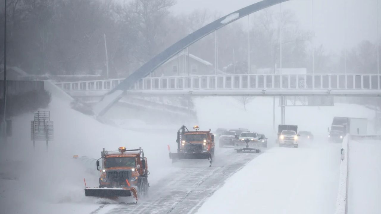
Grand Rapids, MI — A powerful early-season winter storm is prompting winter storm warnings and winter weather advisories across 15 Michigan counties, with forecasters warning that some areas could see up to 12 inches of snow between Monday afternoon and early Tuesday morning.
The National Weather Service (NWS) advises residents to expect rapidly deteriorating conditions, especially along the Lake Michigan shoreline.
Winter Storm Warnings for Four Counties
Multiple counties are under winter storm warnings, with dangerous travel predicted as snowfall intensifies.
Counties Under Winter Storm Warning
- Mason County — Now through 7 a.m. Tuesday
- Muskegon County — Now through 7 a.m. Tuesday
- Oceana County — Now through 7 a.m. Tuesday
- Emmet County — 4 p.m. Monday through 8 a.m. Tuesday
Expected Snowfall
Forecasters at ClickonDetroit predict 4–12 inches of snow across these regions, with isolated areas experiencing even higher totals.
Snow intensity is expected to strengthen through Monday afternoon, especially in coastal areas from Grand Haven through Muskegon to Montague, where lake-enhanced bands will sharply reduce visibility.
Hazards
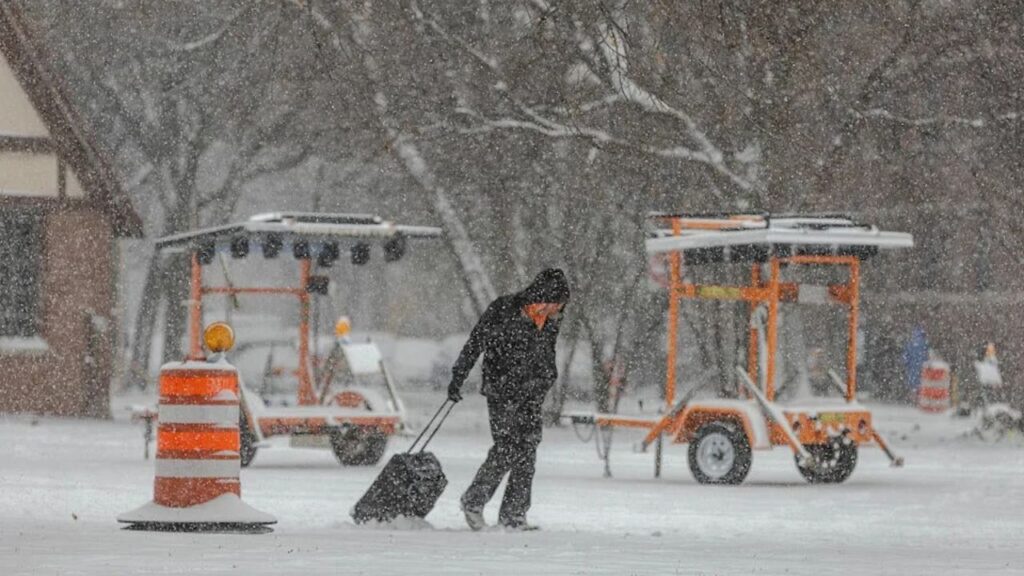
Drivers may face:
- Hazardous, snow-covered roads
- Reduced visibility
- Significant delays during the Monday evening and Tuesday morning commutes
The NWS warns that travel could become very difficult, especially in rural and lakeshore areas.
Winter Weather Advisories for Eleven Counties
An additional 11 counties remain under winter weather advisories as snowfall continues to expand north and west across the state.
Counties Under Winter Weather Advisory
Through 7 a.m. Tuesday:
- Ottawa County
- Lake County
- Newaygo County
4 p.m. Monday – 8 a.m. Tuesday:
- Charlevoix County
- Cheboygan County
- Eastern Mackinac County
- Southeast Chippewa County
- Mackinac Island
- Bois Blanc Island
7 p.m. Monday – 8 a.m. Tuesday:
- Antrim County
- Benzie County
- Leelanau County
- Manistee County
Snowfall Totals
These counties are expected to receive 3–7 inches of snow, with locally higher amounts possible, especially near the Lake Michigan shoreline.
Travel Impacts Expected Across the Region
The combination of heavy snow bands, gusty winds, and quickly accumulating snow is likely to create slick and slushy roadways, particularly during peak travel times.
Transportation officials advise drivers to:
- Reduce speed
- Allow extra stopping distance
- Avoid unnecessary travel during periods of intense snowfall
Commutes on Monday evening and Tuesday morning may be significantly impacted due to widespread roadway hazards.
Snowfall Expected to Peak Monday Afternoon
Meteorologists say the heaviest snow will occur late Monday afternoon into Monday night, with lake-effect enhancement strengthening the intensity. A gradual tapering is expected early Tuesday, though lingering flurries may continue throughout the morning.
How Are You Preparing?
With up to a foot of snow on the way for some counties, how will the storm affect your plans?
Share your thoughts in the comments — Are Michigan winters getting more unpredictable, or is this just another typical snow event?


