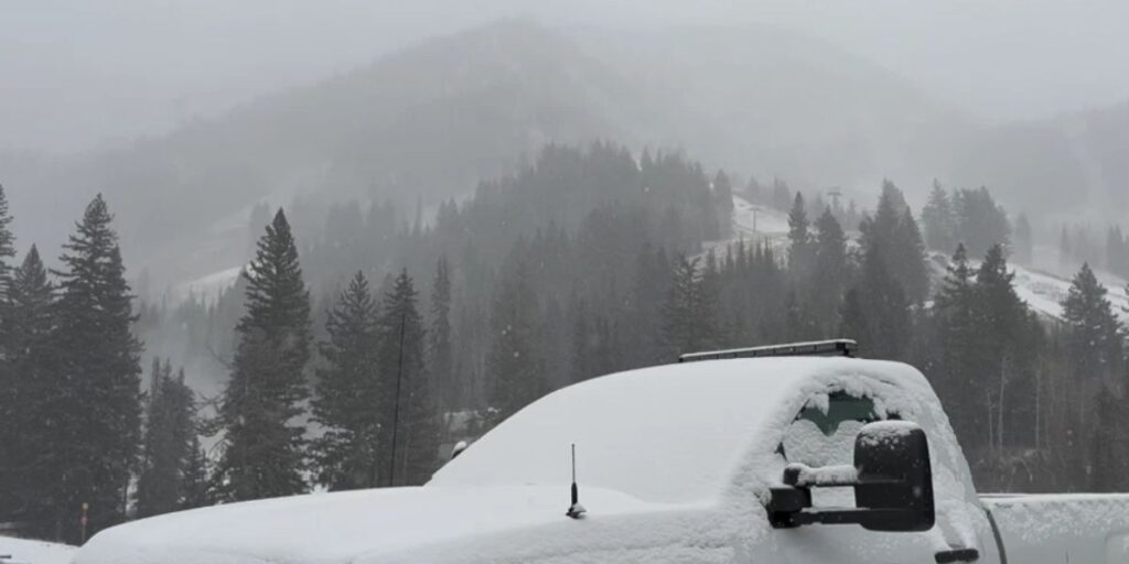
Salt Lake City, UT — A Winter Weather Advisory has been issued for the Northern and Central Mountains of Utah as an early winter storm moves through the state. The advisory is in effect from 5 a.m. to 11 p.m. on Sunday, according to the National Weather Service (NWS).
The system is forecast to bring widespread snow accumulations to the mountains, with totals of 4-8 inches expected, and locally up to 12 inches in the upper Cottonwoods and Wasatch Plateau.
Travel Impacts and Safety Concerns
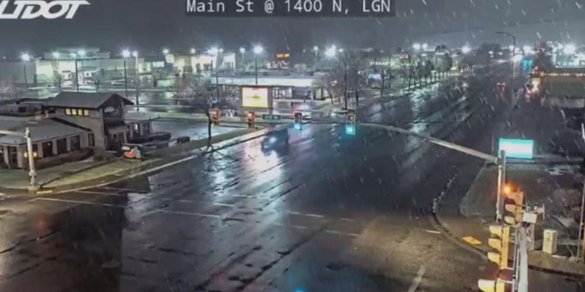
Sunday being a busy travel day, authorities warn of dangerous conditions over mountain passes and in canyons, especially during late morning through evening hours. Drivers are advised to plan extra travel time, carry chains or winter tires, and remain alert for icy and snowy conditions along major routes, as per KUTV.
Snow Levels in Valleys
Snow levels are expected to drop near valley floors on Sunday. Portions of the northern Wasatch Front and Cache Valley could see light snow Sunday morning, while bench areas of the Salt Lake Valley may experience light accumulations later in the day.
A trace to 1 inch of snow is possible on grassy and elevated surfaces in some valley locations. However, warm ground temperatures are expected to limit widespread road accumulations in most lower elevations, reducing the likelihood of major travel disruptions outside the mountains.
Storm Exit and Lingering Effects
Snow is expected to taper off quickly Sunday evening as the storm exits the region, though lingering snow showers may persist in northwest-facing mountain slopes and bench areas. Travelers should still exercise caution in these locations as patchy snow and ice could affect roads and walkways.
Colder Conditions and Future Systems
Following the storm, colder air is expected to settle in for Monday and Tuesday, bringing chilly temperatures across the region. The NWS also noted the potential for additional weak storm systems later in the week, which could bring light snow or scattered showers to mountain and valley areas.
Authorities are urging residents and commuters to stay updated with forecasts, check road conditions, and adjust travel plans accordingly as winter weather begins to settle into Utah for the season.
Community Discussion
Are you prepared for Sunday’s early winter storm in Utah? Share your snowfall observations, travel tips, or safety advice in the comments below to help your neighbors stay safe during the storm.


