Severe Storms Trigger Tornado Warnings and Flash Flood Threat Across the South
JACKSON, Miss. — Severe storms swept across large parts of the southern United States on Friday, triggering multiple Tornado Warnings and raising the risk of flash flooding across several states. Forecasters say the dangerous weather pattern is expected to continue through Saturday, with heavy rain, damaging winds, and the potential for additional tornadoes.
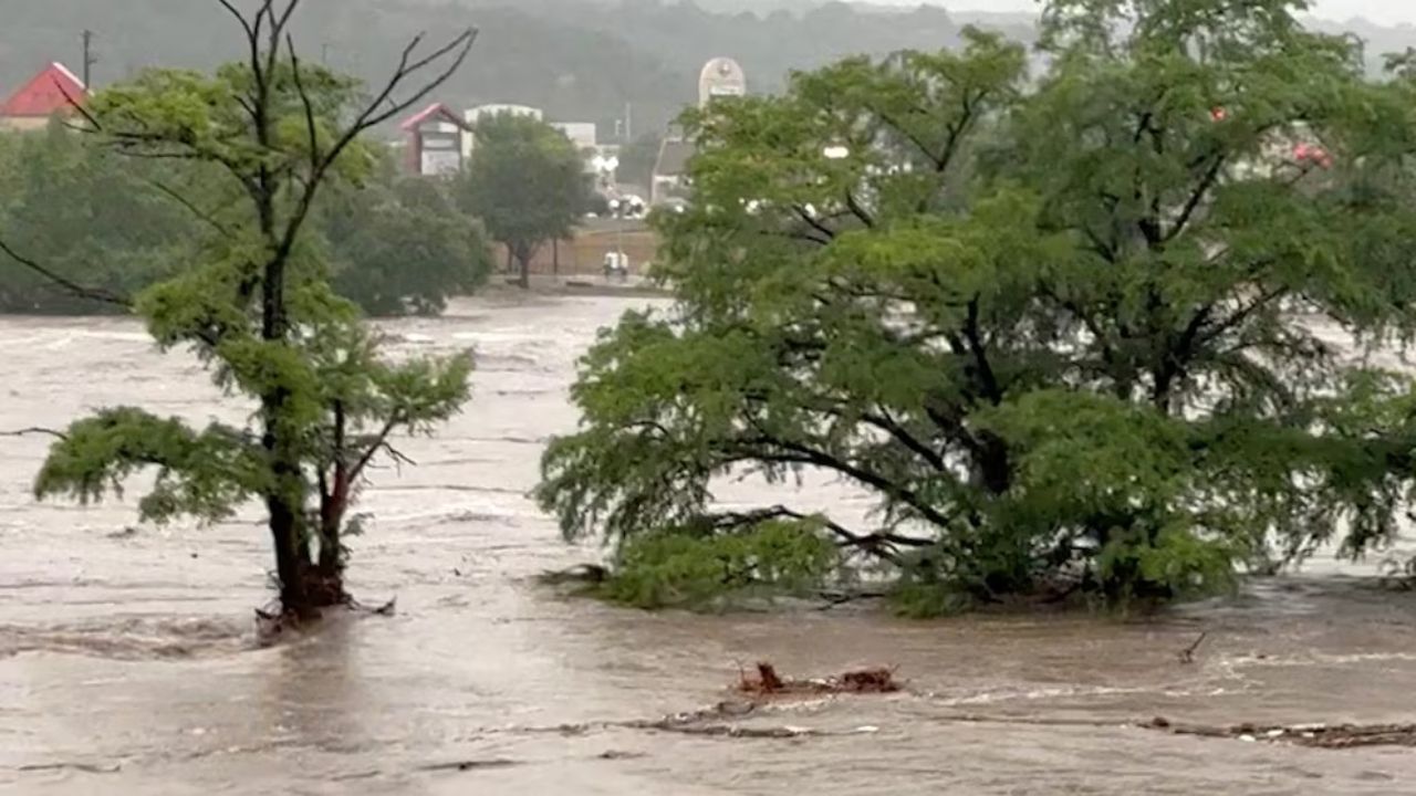
Heavy rainfall prompted flash flood advisories across Louisiana, Mississippi, and Alabama, soaking areas already experiencing drought conditions and increasing the danger of rapid flooding. The evolving threat was outlined by FOX Weather, citing ongoing impacts from repeated rounds of intense storms.
Flash Flooding Risk Expands Across Mississippi and the Gulf Coast
Meteorologists warn that the most significant flash flooding threat is centered over southern Mississippi, particularly near Hattiesburg and south of Jackson. Rainfall rates in this corridor could reach up to 3 inches per hour, according to the FOX Forecast Center.
With abundant atmospheric moisture and multiple storm rounds expected, flood watches remain in effect through Saturday. The watch area stretches more than 600 miles, from New Orleans northward through Nashville, covering a wide swath of the Deep South.
Millions Under Severe Storm Risk as Winds and Tornadoes Threaten
More than eight million people are under a Level 2 out of 5 severe storm risk on Friday, affecting parts of Louisiana, Mississippi, and western Tennessee. The highest-risk zone extends from Baton Rouge, Louisiana, north to Memphis, Tennessee, and eastward into Birmingham, Alabama.
Damaging wind gusts are forecast to be the primary hazard, but forecasters say additional tornadoes remain possible, following two tornadic episodes earlier in the week.
Radar-Confirmed Tornadoes Reported in Mississippi
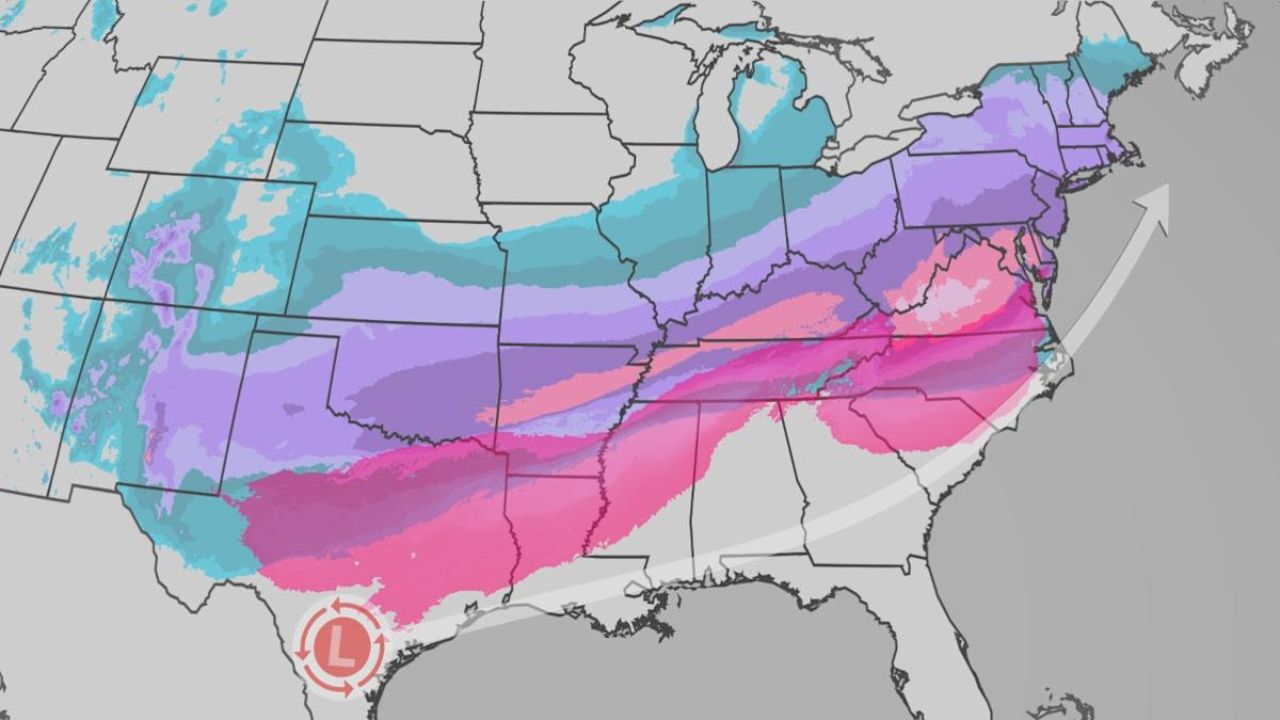
Early Friday morning, a powerful line of thunderstorms produced at least two radar-confirmed tornadoes in Mississippi around 6:30 a.m. CT. These storms were driven by a strong cold front associated with a cross-country system delivering heavy rain to millions east of the Mississippi River.
By Friday evening, severe storms continued to batter parts of the Deep South and Gulf Coast, compounding flooding concerns and maintaining the tornado threat.
Oklahoma Tornadoes Add to Ongoing Severe Weather Pattern
The continued risk of tornadoes follows a destructive EF-2 tornado that struck Purcell, Oklahoma, on Thursday. Although no injuries were reported, the storm caused significant damage, including downed power lines and uprooted trees.
The National Weather Service office in Norman confirmed three additional tornadoes in Oklahoma:
- An EF-0 near Lake Thunderbird
- An EF-1 near Shawnee Twin Lakes
- An EF-1 in north Shawnee
These events highlight the widespread and persistent nature of the severe weather system moving eastward.
Storm System Pushes East Toward the Southeast and Carolinas
As the storm complex advances overnight, a Level 2 out of 5 severe storm risk remains in effect into Saturday for central and southern Alabama and western Georgia.
Storms are expected to continue pushing east through late morning and afternoon, impacting the Carolinas by Saturday afternoon. Forecasters warn that the weather could interfere with outdoor events, including a highly anticipated NFL playoff matchup in Charlotte, according to the FOX Forecast Center.
Flooding Concerns Linger After Storms Exit
Even after the main storm system moves out of the region, the threat of flash flooding will persist across east Tennessee and western North Carolina, where saturated ground and runoff could create hazardous conditions.
Emergency officials urge residents in affected areas to remain weather-aware, monitor alerts, and avoid flooded roadways as the multi-day severe weather event continues.

